Member
FY2018 members are Prof. Hideyuki Tonooka, seven graduate students, and four undergraduates.

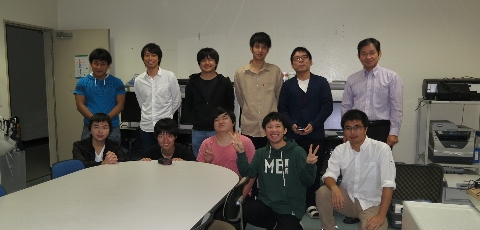
FY2018 members are Prof. Hideyuki Tonooka, seven graduate students, and four undergraduates.
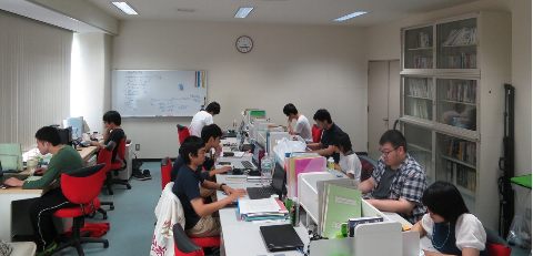
Our main activities are in algorithm and system development, calibration and validation, and applications in remote sensing technology.
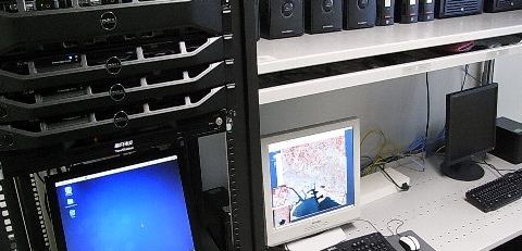
We provides ASTER Cloud Mask Database, ASTER/TIR Recalibration Coefficients, and Satellite-based Lake and Reservoir Temperature Database in Japan (SatLARTD-J).